



Navajo Loop Trail
- Where
- Bryce Canyon City, Bryce Canyon & Grand Staircase-Escalante
- Directions
- Directions
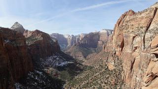
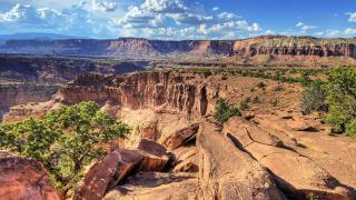
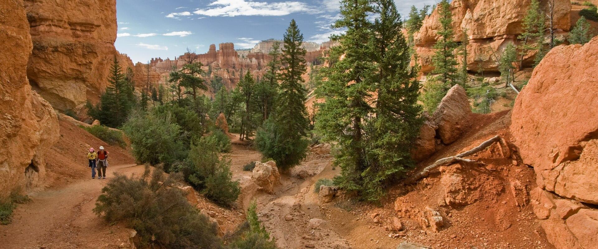
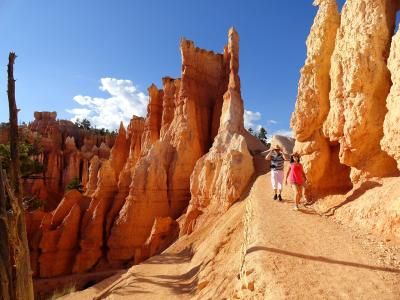
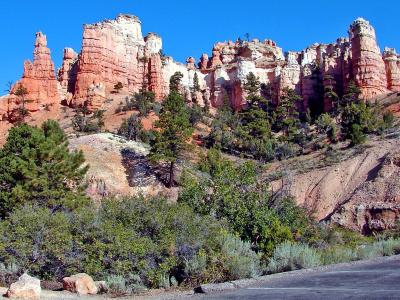
The Navajo Loop Trail, located within Bryce Canyon National Park, offers a distinct geological experience characterized by the region’s iconic hoodoos. These tall, thin spires of rock, formed by the erosion of the Paunsaugunt Plateau, create a striking visual landscape that draws visitors from around the world. The trail provides an immersive environment where hikers can closely inspect the intricate details of the rock formations, which are defined by vibrant red, orange, and white mineral deposits created by iron and manganese.
The 1.3-mile loop descends from Sunset Point past Thor’s Hammer and through the narrow, high-walled Wall Street section. The trail is accessible to visitors of varying experience levels, though the terrain requires a moderate level of physical fitness. The high elevation and changing weather conditions, including potential afternoon thunderstorms in the summer, necessitate careful preparation. The best time to visit is during the late spring or early fall, when cooler temperatures and clearer skies enhance the hiking experience.
The trail is open to the public, and visitors are encouraged to check current conditions before heading out. The park, named after Mormon settler Ebenezer Bryce, attracts over two million visitors annually, many of whom are drawn by the unique geological features. The Navajo Loop Trail remains a popular choice for those interested in exploring the natural beauty of the region, offering a unique perspective on the intricate rock formations that define this unique landscape.
Categories
More photos coming soon
Nearby Attractions
Other places to visit in Bryce Canyon City
Questions people ask
Quick Facts
Best Time to Visit
May through September; summer days are mild at this elevation, while spring and autumn are cooler and quieter.