The Connectivity Landscape
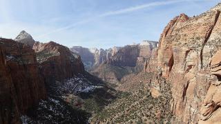
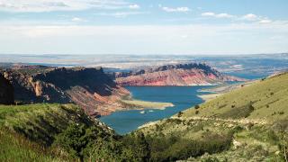
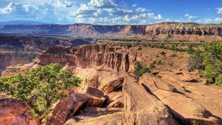
Utah’s rugged terrain significantly impacts cellular signal strength. Mountain ranges block direct line-of-sight, creating dead zones in remote valleys. Urban centers like Salt Lake City offer robust 5G coverage. Rural areas often rely on older 4G LTE networks. Signal drops frequently occur in canyon corridors. FirstNet provides dedicated public safety broadband across the state. This infrastructure supports emergency responders in isolated regions. Users should expect variable connectivity outside major highways. Carriers prioritize population centers over vast wilderness areas. Line-of-sight dependency remains a critical technical constraint. High elevation can sometimes improve signal reception. However, dense rock formations absorb radio waves. Travelers must plan for limited service in national parks. Rural broadband options remain sparse in many counties. Understanding these geographical limitations is essential for navigation.
Carrier Coverage Realities
Verizon maintains the strongest rural signal across Utah’s vast backcountry. Its network reliably covers remote highways and national park perimeters. T-Mobile has expanded significantly in urban corridors like Salt Lake City. However, gaps persist in deep mountain valleys and high desert areas. AT&T offers competitive coverage in major population centers and along Interstate 15. Performance varies greatly depending on specific elevation and terrain features. Travelers must verify coverage for their exact route before departure. General state maps often obscure localized dead zones in canyon areas. FirstNet infrastructure supports public safety but does not guarantee consumer reliability. Always check carrier-specific coverage maps for your precise destination coordinates. Rural travel requires patience and alternative communication plans. Urban connectivity remains generally stable and high-speed. Do not assume blanket state-wide coverage exists. Verify signal strength for each specific valley or ridge you plan to traverse. This verification prevents unexpected disconnection during critical travel moments.
Satellite and Offline Solutions
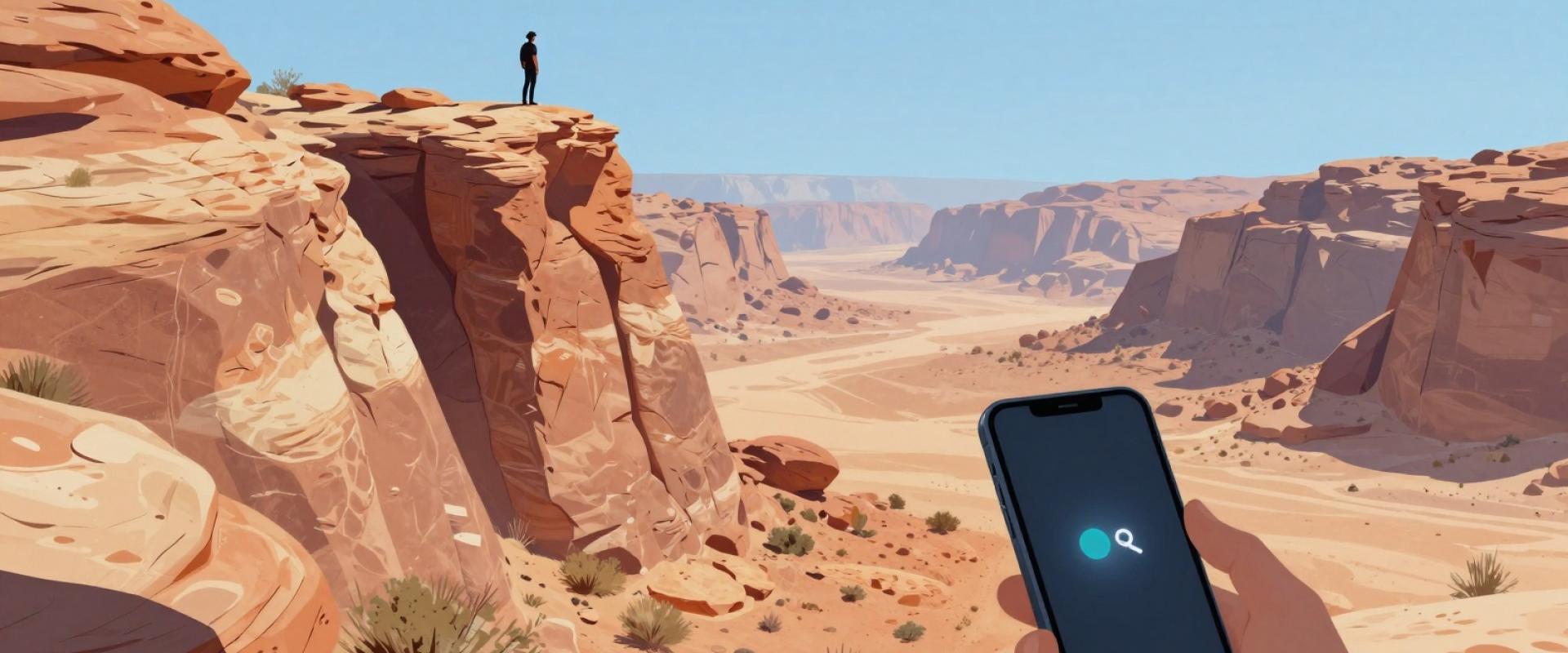
Cellular dead zones persist in Utah’s remote backcountry. FirstNet coverage goals aim to improve public safety broadband in these areas. You must prepare for total signal loss. Carry a satellite communicator for emergency use. Devices like Garmin inReach provide two-way messaging. They function independently of local cell towers. Download offline maps before entering wilderness areas. Applications like Gaia GPS store detailed terrain data. Save these files while connected to Wi-Fi. This ensures navigation works without active data. Pre-download critical information for your entire trip. Include trail maps, weather forecasts, and emergency contacts. Store copies on your device and a backup drive. Redundancy is essential for safety in Utah. Relying on a single communication method is risky. Combine satellite gear with offline digital tools. This strategy mitigates the risk of isolation. Verify your offline maps cover your specific route. Utah’s vast public lands require thorough preparation. Always test your satellite device before departure. Ensure your battery life supports your journey duration. These steps ensure connectivity when networks fail.
Battery and Device Management
Weak signals in Utah’s remote areas drain batteries rapidly. Devices constantly search for towers, consuming significant power. This effect intensifies in mountainous regions with poor coverage. You must manage power carefully during long drives. Enable Airplane mode when no signal exists. This stops background searching and preserves charge. Use this strategy in dead zones between towns. Carry a high-capacity portable power bank. Choose a unit with at least 10,000 mAh capacity. It provides multiple full charges for smartphones. Cold weather further reduces battery efficiency in Utah. Temperatures drop significantly in high-elevation national parks. Lithium-ion batteries lose capacity in freezing conditions. Keep devices close to your body for warmth. Store power banks inside jackets or pockets. This maintains optimal operating temperatures for the cells. Plan charging stops at established service stations. These locations offer reliable electricity in remote areas. Screen use accelerates battery drain while the phone searches for data. Download offline maps before entering backcountry areas. This reduces reliance on live cellular connections. Monitor battery levels frequently during remote travel. Utah’s vast distances require strict energy management. Prepare for extended periods without charging infrastructure. Prioritize essential communications over non-urgent data usage. This approach ensures devices remain functional for emergencies.
Emergency Preparedness Checklist
Cellular coverage in Utah remains unreliable in remote areas. Always carry a physical map as a primary backup. Digital signals fail frequently in mountainous terrain. Download offline maps before entering remote regions. Share your detailed travel itinerary with trusted contacts. Include specific checkpoints and expected arrival times. Provide emergency contact information to all travelers. Ensure all devices have fully charged batteries. Carry portable power banks for extended trips. Invest in a satellite communicator for remote areas. Standard cellular service often fails in deep canyons. FirstNet coverage is limited in many rural zones. Verify coverage maps for specific trailheads before departure. Do not rely solely on mobile connectivity. Carry a physical compass as a secondary tool. Charge devices daily during rest periods. Keep emergency contact lists accessible offline. Test satellite devices before entering the backcountry. Utah’s vast wilderness requires robust preparation. Signal loss is common in national parks. Plan alternative communication methods for all excursions. Prioritize safety over digital convenience. Ensure all team members understand these protocols. Carry extra batteries for communication devices. Prepare for total connectivity loss in isolated zones.