Why Utah's Byways Matter
Utah runs its own state scenic byway program, and several of its routes also carry national designations. The roads cross red rock desert, high plateaus and alpine passes, often in a single day. Many of the best views in the state are from the car, with short walks at pullouts. This guide covers the routes most travelers ask about, grouped by region. Distances are approximate. Conditions change fast with the seasons, so check before you go.
Scenic Byway 12: The All-American Road
Highway 12 is Utah's only All-American Road, a designation it received in 2002. It runs about 120 miles from US-89 near Panguitch to Torrey. The route passes Red Canyon, the entrance to Bryce Canyon National Park, the towns of Tropic and Escalante, and Grand Staircase-Escalante National Monument. Between Escalante and Boulder it crosses the Hogback, a narrow ridge with steep drops on both sides and few guardrails. Drive it in daylight and take it slowly. North of Boulder the road climbs over Boulder Mountain to more than 9,000 feet, through aspen and pine forest, before descending to Torrey. Lower Calf Creek Falls, Kodachrome Basin State Park and Anasazi State Park Museum are all close to the road. Snow can fall on Boulder Mountain from autumn into late spring.
Capitol Reef Country: State Route 24
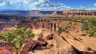
SR-24 meets Highway 12 at Torrey and runs east through Capitol Reef National Park. The road follows the Fremont River past the historic orchards of Fruita, petroglyph panels and the Hickman Bridge trailhead. East of the park it crosses open desert to Hanksville. From there, SR-24 continues north toward Goblin Valley State Park and I-70. Services are limited between Torrey and Hanksville, so fill the tank in town.
Zion-Mount Carmel Highway: State Route 9
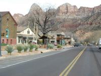
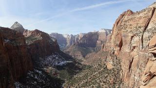
SR-9 links Springdale and Zion Canyon with US-89 at Mount Carmel Junction. The road climbs a series of switchbacks to the Zion-Mount Carmel Tunnel, a little over a mile long and completed in 1930. Large vehicles such as RVs and trailers above set size limits need a tunnel permit and one-lane traffic control. East of the tunnel, the road crosses slickrock country with Checkerboard Mesa and frequent bighorn sheep sightings. Parking at pullouts fills early in busy seasons.
The Colorado River Byway: State Route 128
SR-128 leaves US-191 just north of Moab and follows the Colorado River upstream. Red cliffs rise on both sides for much of the drive. The road passes river access points, campgrounds, the turnoff to Castle Valley and the Fisher Towers trailhead. Near the historic Dewey Bridge site it leaves the river and continues to I-70 near Cisco. It is a quieter alternative to the main highway into Moab and works well as a sunrise or sunset drive.
Bicentennial Highway and Monument Valley
SR-95, the Bicentennial Highway, crosses some of the emptiest country in the state between Hanksville and Blanding. It bridges the Colorado River at Hite at the head of Lake Powell. A short side road, SR-275, leads to Natural Bridges National Monument. Gas and water are scarce, so plan stops carefully. Farther south, US-163 runs through the Navajo Nation to Monument Valley on the Arizona line. The long straight approach north of the valley is one of the most photographed road views in the West. Monument Valley Navajo Tribal Park is managed by the Navajo Nation, which sets its own rules and fees.
Mountain Routes in the North
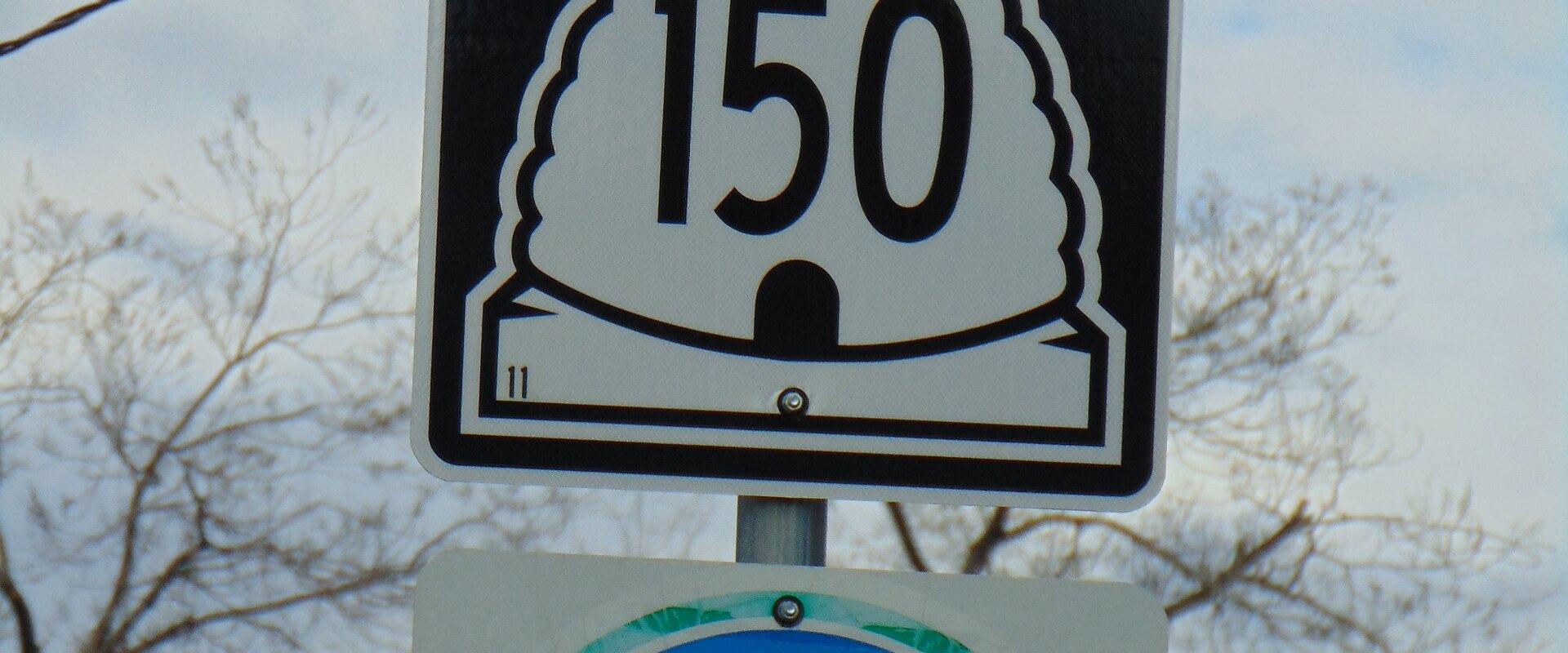
The Mirror Lake Highway, SR-150, runs from Kamas into the Uinta Mountains and on toward Evanston, Wyoming. It crosses Bald Mountain Pass at more than 10,000 feet and passes dozens of lakes and trailheads. The upper road closes in winter and usually opens in late spring or early summer. A recreation pass is required to park along much of the route.
The Logan Canyon Scenic Byway follows US-89 for about 41 miles from Logan to Garden City. It climbs through the Bear River Range beside the Logan River, then drops to a viewpoint over the turquoise water of Bear Lake. The road is open year-round, and autumn colors draw many visitors.
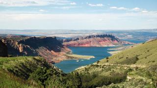
The Flaming Gorge-Uintas byway runs north from Vernal over the eastern Uintas to Flaming Gorge National Recreation Area. Roadside signs explain the rock layers the road crosses. Red Canyon Overlook gives a long view down to the reservoir.
Wasatch Loops Near the Cities
Two short loops sit close to the Wasatch Front. The Alpine Loop, SR-92, climbs from American Fork Canyon past Mount Timpanogos and down through Provo Canyon near Sundance. The Nebo Loop runs between Payson and Nephi and passes Devil's Kitchen, a small area of red hoodoos. Both roads are narrow and winding, and both close in winter. They typically reopen in late spring, depending on snow. In autumn they are among the best places in the state to see changing aspens and maples, and weekend traffic can be heavy.
Road Conditions and Seasonal Closures
The Utah Department of Transportation reports closures, construction and winter conditions on its traffic website and app. Check it before any mountain drive. Several byways close seasonally, including SR-150, SR-92 and the Nebo Loop. Others, such as Highway 12, stay open but can be slick on high passes. In winter, Utah's traction law can require snow tires, chains or four-wheel drive on canyon roads.
Desert routes bring different risks. Summer heat is intense at lower elevations, and flash floods can cross roads after storms. Cell coverage drops out on long stretches of SR-95, SR-24 and Highway 12. Carry water, a paper map and a full tank, and tell someone your route. Wildlife, especially deer and elk, is most active at dawn and dusk.
Planning a Byway Trip
Many travelers link several byways into a loop. A common route runs Highway 12 to Torrey, then SR-24 through Capitol Reef, then north to I-70 and Moab for SR-128. Allow extra time for stops, since short walks and viewpoints add up quickly. Base towns include Torrey, Escalante, Moab, Springdale, Kamas and Garden City. Book lodging early in summer and during autumn color season, when demand is highest.