Why I Drive Logan Canyon in Spring
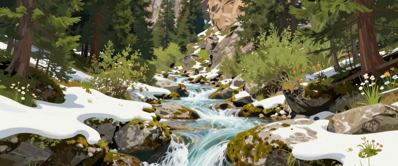
Most people know Logan Canyon for its autumn maples. I like it best in late spring, when the snow in the Bear River Range starts to let go. The Logan Canyon Scenic Byway follows US-89 for about 41 miles from Logan to Garden City, and in May and June the whole drive sounds like moving water. Snowmelt in this part of northern Utah usually peaks between late May and early June. That is when the river runs high, small seasonal streams spill off the limestone walls, and the meadows near the summit start to turn green.
This is not a waterfall hike in the classic sense. It is a slow drive with short stops, and most of the water you see is temporary. Some of it is gone by July.
The Logan River at High Water
The byway starts at the mouth of the canyon on the east side of Logan and climbs beside the Logan River the whole way up. In spring the river is fast, cold and brown with runoff. It pours over the small dams in the lower canyon and fills the riverside picnic areas with noise.
The canyon walls here are limestone and dolomite, gray and pale tan, with layers that record hundreds of millions of years of geologic history. After a wet winter, thin ribbons of water run down gullies in the cliffs for a few weeks. None of them have official names that I could confirm, so I just pull over where it is safe and look.
Wind Cave and the China Wall
A few miles into the canyon, the Wind Cave trail climbs the north side to a formation called the China Wall. The trail is about 2 miles each way, and the top is a cave and a delicate triple arch carved by wind and water. It is steep, and in spring the upper section can still hold snow or mud. The reward is a view straight down the canyon with the swollen river below. I go early in the day, before the sun warms the south-facing slope.
Ricks Spring
Ricks Spring sits right beside the highway, farther up the canyon. Water flows out of a cave at the base of the cliff, and in spring the flow is strong. For years people believed it was an artesian spring. Dye-tracing studies showed that much of its water actually comes from the Logan River higher up the canyon, which sinks underground and resurfaces here. Some of it even comes from as far away as Tony Grove Lake. Do not drink the water untreated. It is surface water that has only taken a short trip through the rock.
Tony Grove in Late Spring
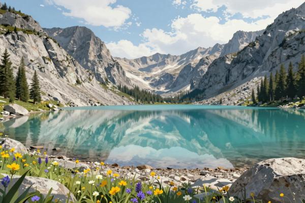
The road to Tony Grove Lake branches off US-89 in the upper canyon. It climbs to a small lake under steep cliffs at around 8,000 feet. This road usually opens later than the highway, and snow can linger at the lake into early summer. When it does open, the cliffs around the lake are streaked with meltwater and the meadows begin to fill with wildflowers. The lake itself looks more like the Pacific Northwest than the desert most visitors picture when they think of Utah. Check with the Logan Ranger District before you go, since gate dates depend on the snow year.
Over the Summit to Bear Lake
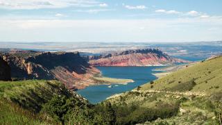
Past Tony Grove, the highway climbs to the summit of the Bear River Range. Snowbanks often line the road here well into spring. Then the road crests and Bear Lake appears below, a long sheet of turquoise water stretching north into Idaho. The overlook just past the summit is the best place to stop. In late spring the water color is especially striking against the last of the snow on the far shore.
From there the road drops in tight curves to Garden City. The town is quiet before the summer season, and it makes an easy base for a night or two. Raspberry shakes come later in the year, but the lakeshore is empty and peaceful in May.
Staying Safe Around Spring Water
Spring runoff is the most dangerous time to be near any mountain river in Utah. The water is cold enough to cause shock in seconds, and the current is much stronger than it looks. Keep children and dogs well back from the bank. Do not wade or cross streams at high water, and stay off snow bridges over creeks.
Trails can be muddy, icy in shaded spots, or blocked by small avalanche debris from the winter. Wear boots with good tread and carry a light layer, even on a warm day in Logan.
Road Conditions on US-89
US-89 through Logan Canyon is open year-round, but spring weather in the upper canyon can swing from sunshine to snow in an afternoon. The summit gets more snow than the valley floors on either side. I check the Utah Department of Transportation traffic site before I leave. Watch for deer, elk and moose near the road at dawn and dusk, and for cyclists on the lower canyon grade.
Give yourself most of a day for the round trip, even though the drive alone takes about an hour each way. The stops are the point. In spring, this canyon is loud, green and briefly full of water, and that window does not last long.