Alta
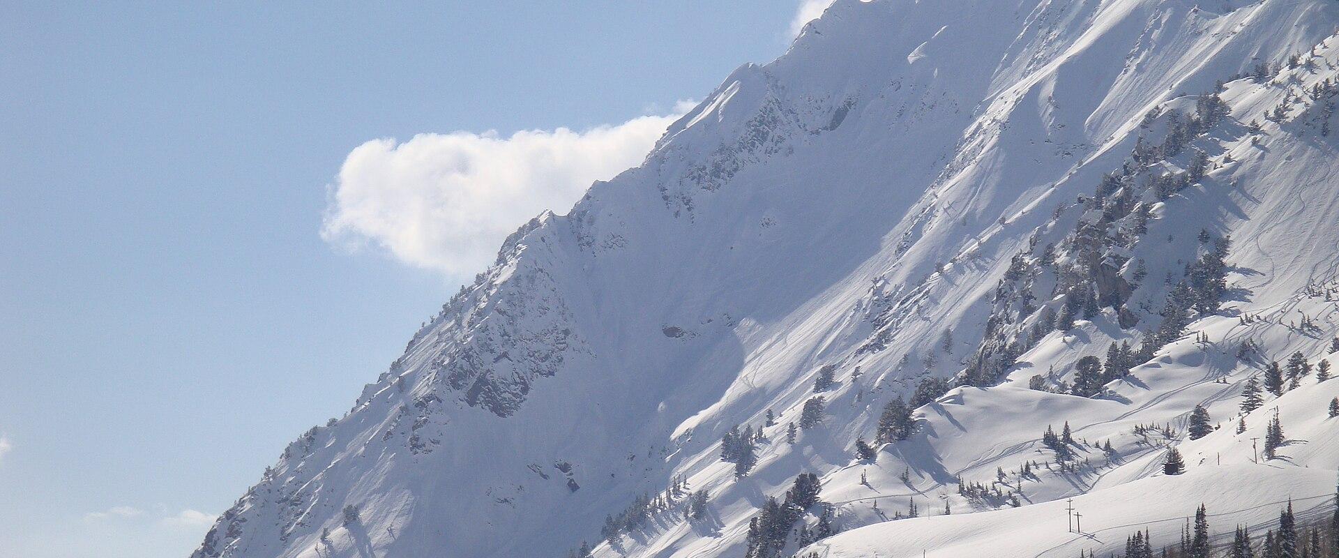
Powder skiing and wildflowers at the top of Little Cottonwood Canyon
History: From Silver Camp to Ski Town
Alta was founded around 1865 by miners working the silver deposits of Little Cottonwood Canyon. The Emma mine became the best known of them, and in 1871 it was sold to British investors in one of the most notorious mining deals of the era. The boom was short-lived: a fire in 1878 and a devastating avalanche in 1885 destroyed much of the original town, and by the early twentieth century Alta was close to being a ghost town.
Skiing brought it back. In the 1930s land was donated to the U.S. Forest Service for a ski area, the Norwegian ski champion Alf Engen helped lay out the terrain, and the first ski lift opened in the late 1930s, making Alta one of the oldest ski areas in the United States. The town incorporated in 1970, and Snowbird opened just down the canyon in 1971. Despite its fame, Alta has stayed small, with no main street of shops and only a cluster of lodges at the base of the lifts.
Skiing at Alta and Snowbird
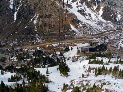
Alta Ski Area is known for its deep powder, old-school atmosphere and a policy that allows skiers only, no snowboards. Its terrain spreads across the head of the canyon, from gentle groomers to steep chutes and traverses. Next door, Snowbird is bigger and steeper, with its aerial tram climbing to Hidden Peak and terrain on both sides of the ridge, including Mineral Basin. A combined Alta-Snowbird ticket lets skiers move between the two areas, though snowboarders are limited to Snowbird.
The snow is the reason to come. Storms arriving from the west drop their moisture as they rise over the Wasatch, and Little Cottonwood Canyon catches more than almost anywhere else in the range. The same snow brings serious avalanche danger, and the canyon is known for avalanche-control work, temporary road closures and occasional "interlodge" orders, when everyone in town must stay indoors until the slopes are made safe.
Summer: Albion Basin and Cecret Lake
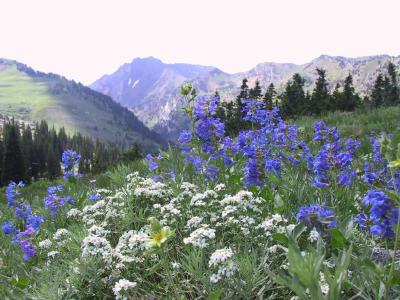
From late June, the road above Alta opens into Albion Basin, a high alpine bowl that is one of Utah's best places to see wildflowers. The bloom usually peaks from late July into early August, depending on the winter's snowpack. A short, popular trail climbs from the basin to Cecret Lake, a small lake tucked below Sugarloaf Peak, and longer routes lead toward the ridges above. The basin road is narrow and partly unpaved, vehicle numbers are limited, and a fee is charged, so an early start or the town's summer shuttle makes a visit much easier. Moose are often seen in the willows, and the area is part of the watershed that supplies Salt Lake City, so dogs and swimming are restricted.
Little Cottonwood Canyon
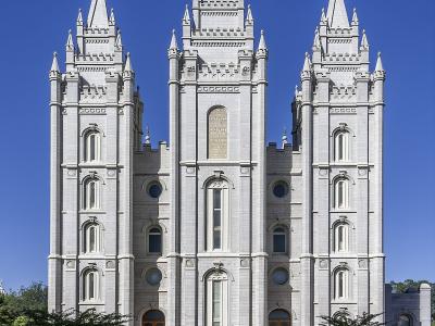
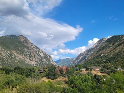
The drive up Little Cottonwood Canyon on State Route 210 is part of the experience. The steep, U-shaped canyon was carved by glaciers, and the granite-like stone at its mouth was quarried in the nineteenth century to build the Salt Lake Temple. Climbers use the boulders and cliffs near the canyon mouth, and trails to White Pine and Red Pine lakes start partway up.
Getting There and Practical Tips
Alta is about 40 minutes by car from downtown Salt Lake City in good conditions, but winter traffic can make the trip much longer, and traction rules for tyres and chains are enforced on the canyon road during storms. Utah Transit Authority ski buses run up the canyon in winter and are often the easiest option. Parking at the resorts is limited and may require reservations on busy days. Lodging in Alta itself is limited to a few slope-side lodges, so many visitors stay in Salt Lake City, Sandy or Cottonwood Heights and drive up. Check road and avalanche reports before every trip.
Best time to visit
December through April for powder skiing; mid-July to mid-August for Albion Basin wildflowers and hiking.
What to see in Alta
Our picks first.
Snowbird
Steep Little Cottonwood Canyon resort with an aerial tram to Hidden Peak
From $215 Outdoor Recreation · Ski Areas
Alta Ski Area
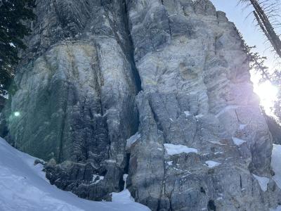
Skiers-only powder mountain at the top of Little Cottonwood Canyon, since 1939
From $209 Hiking Trails · Mountain Peaks
Little Cottonwood Canyon
Free Natural Wonders & Parks · Outdoor Recreation
Albion Basin
Natural Wonders & Parks · Outdoor Recreation
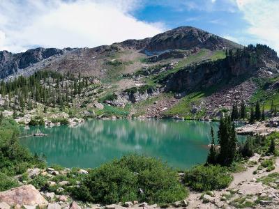
Cecret Lake Trail
Outdoor Recreation · Hiking Trails
Alta by interest
The same sights, grouped by what you came for.
Planning a visit to Alta
Good to know
- Currency
- USD
- Language
- English